


floatingmaps
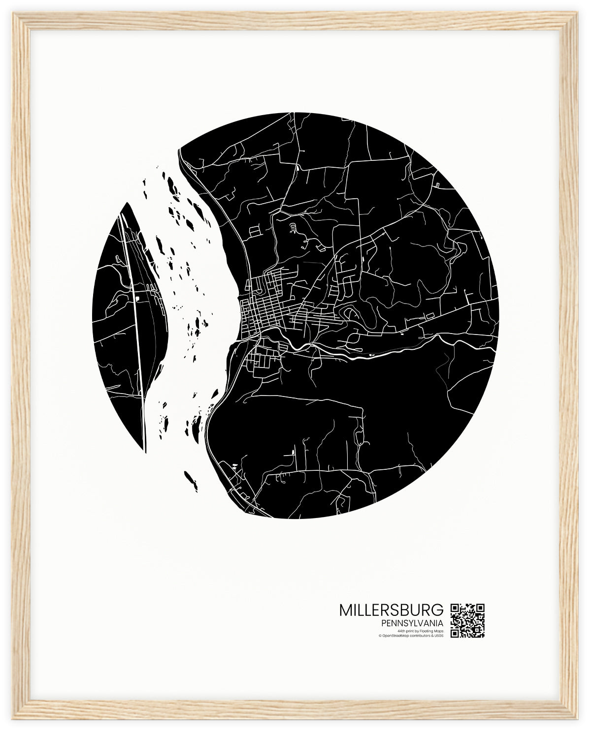
Millersburg, Pennsylvania
Millersburg, Pennsylvania
Couldn't load pickup availability
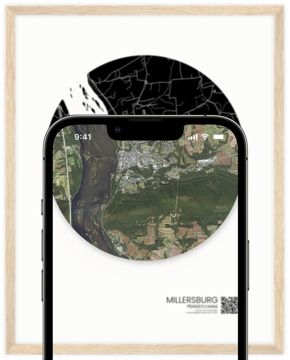
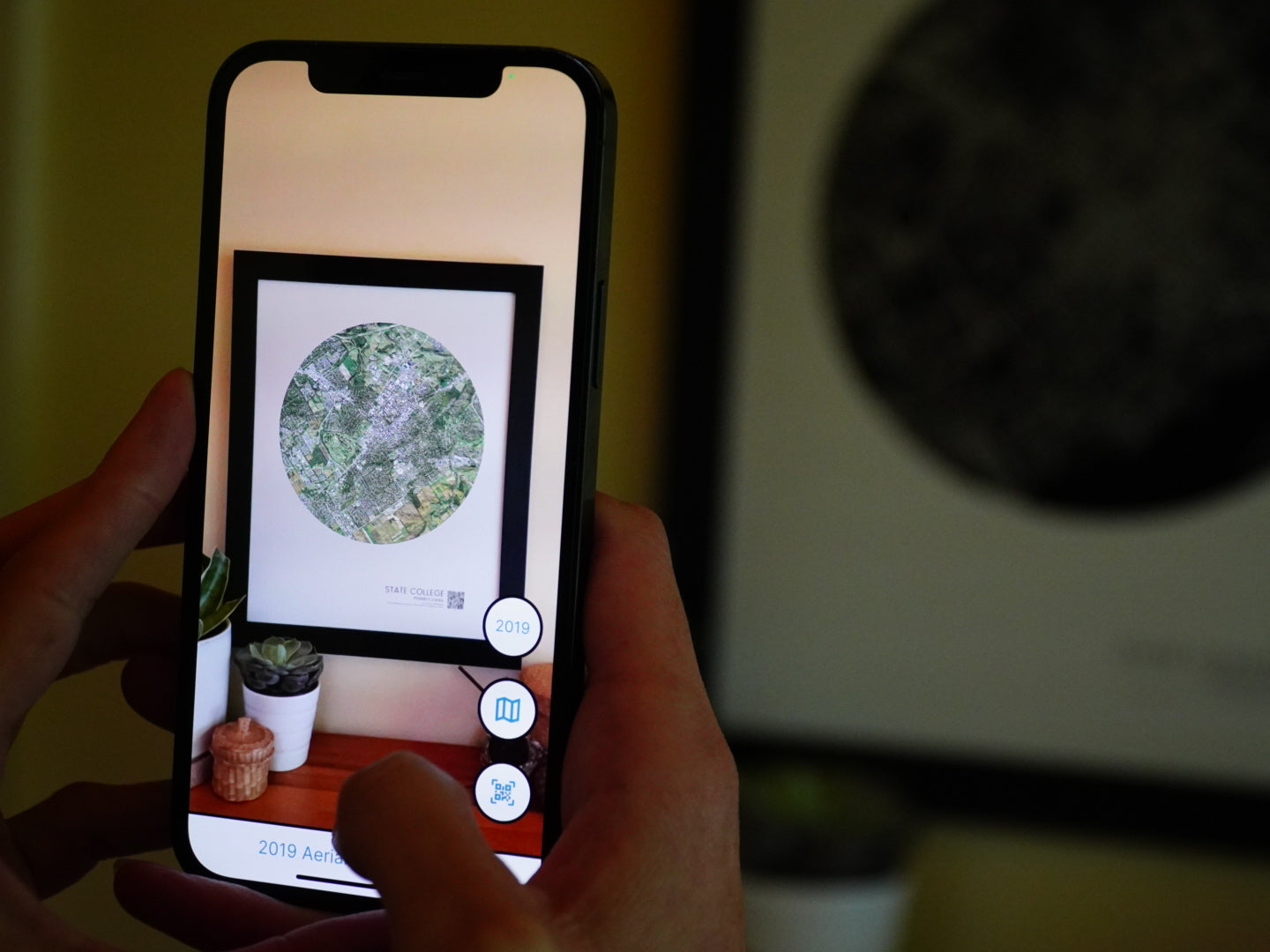
Millersburg, Pennsylvania has so much history in it- from its well known ferry and location on the Susquehanna River to its thriving downtown. This Floating Map of Millersburg will not only provide a beautiful piece of art for your home, but will also give you a picture into the history of Millersburg.
With our free app, you can see 11 different historical maps of Millersburg from the 1930s to present day. These include: 2019, 2015, 2010, 2004, 1999, 1993, 1983, 1970, 1956, 1949 and 1938. Experience Millersburg as it grows into the town it is today.
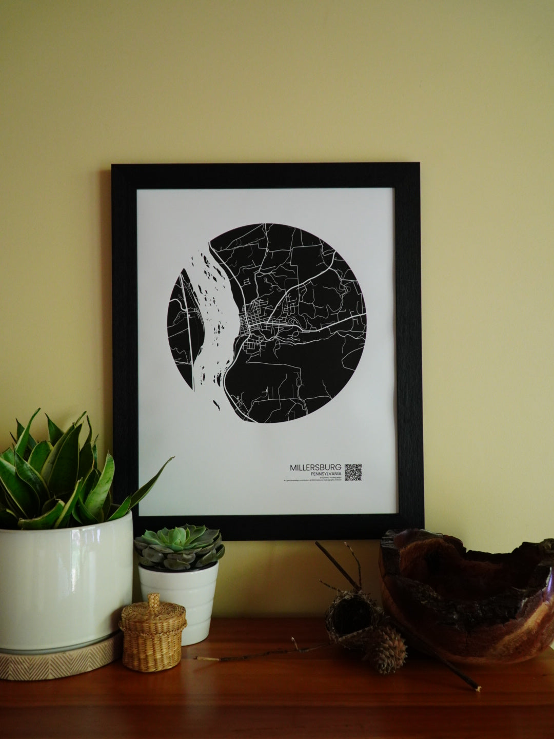
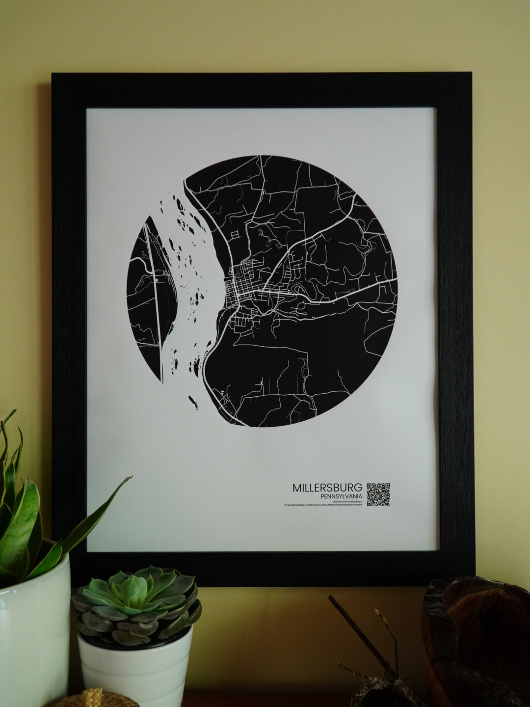
*Frame not included.
Size Matters
-
16x20 (recommended)
+Best Augmented Reality Experience
+Includes Walking and Biking Trails
+Largest, Most Detailed Map
-
11x14
+ Good Augmented Reality Experience
+ Medium Sized Map
-
8x10
+Smallest Size: Good For Gift Giving
+Least Detail
+Can Be Displayed On Table With Easel Back Frame
Digital or Print?
Choose between a digital file or map print. The digital file download will be emailed to you. You can then take it to your local printer for printing. The digital file has to be printed at the size in which you buy it. For more detail, check out our Printing Instructions.